

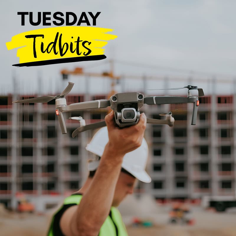
Over the past decade, unmanned aerial vehicles (UAVs), more commonly known as drones, have evolved from recreational gadgets into indispensable tools for engineers. Once primarily associated with aerial photography and military operations, drones are now used across nearly every engineering discipline to collect data, inspect infrastructure, monitor construction, and improve project safety. As drone technology has become more affordable, reliable, and capable, engineering firms of all sizes have begun integrating UAVs into their everyday workflows.
For engineers, drones offer more than just an aerial perspective—they provide access to high-quality data that can be collected faster, more safely, and often at a significantly lower cost than traditional methods. Whether inspecting a bridge, surveying a construction site, monitoring environmental conditions, or mapping hundreds of acres for a transportation project, drones are changing how engineering projects are planned, executed, and maintained.
Why Drones Have Become Valuable Engineering Tools
Several technological advances have converged to make drones practical for engineering applications. Modern UAVs feature high-resolution cameras, GPS navigation, obstacle avoidance systems, extended battery life, and sophisticated flight planning software. Many models also support specialized sensors such as LiDAR, thermal imaging cameras, multispectral cameras, and gas detection equipment.
At the same time, improvements in data processing software allow engineers to transform thousands of aerial photographs into detailed maps, three-dimensional models, digital terrain models, and point clouds with remarkable accuracy.
Instead of replacing traditional surveying or inspection techniques, drones have become an additional tool that complements existing engineering practices and provides information that was previously difficult or expensive to obtain.
Improving Land Surveying and Site Mapping
Surveying has traditionally been one of the most labor-intensive phases of many engineering projects. Conventional methods often require crews to spend days or weeks collecting measurements across large or difficult terrain.
Drones have dramatically accelerated this process.
Using photogrammetry or LiDAR technology, drones can fly pre-programmed routes while capturing overlapping images or laser measurements. Software then combines this information into highly accurate digital maps and three-dimensional terrain models.
Engineers use drone-generated data for:
- Topographic surveys
- Site planning
- Earthwork calculations
- Drainage analysis
- Utility corridor planning
- Transportation projects
- Mining operations
Large construction sites that once required several days of fieldwork can often be mapped in a matter of hours.
While drones do not eliminate the need for licensed surveyors, they significantly reduce the amount of time spent collecting field data and allow surveyors to focus on verification and analysis.
Enhancing Construction Project Management
Construction projects constantly evolve, making regular documentation essential.
Traditionally, project managers relied on ground-level photographs, handwritten reports, and occasional aerial photography from helicopters or airplanes. Drones now provide frequent, low-cost aerial updates that improve communication among contractors, engineers, owners, and stakeholders.
Routine drone flights can document:
- Construction progress
- Material storage
- Equipment locations
- Site logistics
- Excavation progress
- Concrete placement
- Utility installation
These images help identify schedule delays, verify completed work, and compare actual progress against project plans.
Many firms conduct weekly drone flights to create visual progress reports that can be shared with clients and project teams.
Improving Infrastructure Inspections
One of the most significant engineering applications for drones is infrastructure inspection.
Many structures require inspections in locations that are difficult, dangerous, or expensive for personnel to access.
Examples include:
- Bridges
- Water towers
- Cell towers
- Transmission lines
- Wind turbines
- Dams
- Industrial smokestacks
- High-rise buildings
- Communication antennas
Traditionally, inspecting these structures often required cranes, bucket trucks, scaffolding, rope access, or lane closures.
Drones equipped with high-resolution cameras can safely capture detailed images from multiple angles while reducing both inspection costs and worker exposure to hazards.
Inspectors can zoom into small areas, identify cracks, corrosion, loose connections, damaged coatings, or other defects without placing personnel in dangerous positions.
Although many inspections still require follow-up field verification, drones frequently reduce the number of hazardous manual inspections required.
Increasing Safety on Engineering Projects
Safety remains one of the greatest benefits of drone technology.
Engineering projects frequently involve work around:
- Busy highways
- Railroads
- High-voltage electrical equipment
- Confined spaces
- Steep slopes
- Waterways
- Active construction zones
- Elevated structures
Rather than sending personnel into potentially hazardous environments, engineers can deploy drones to collect photographs, videos, or sensor data from safe distances.
For example:
- Bridge inspectors can examine bridge components over rivers without climbing beneath the structure.
- Utility companies can inspect transmission lines without exposing workers to electrical hazards.
- Construction managers can monitor unstable excavation slopes without entering potentially dangerous areas.
Reducing worker exposure to hazardous conditions supports both employee safety and project efficiency.
Using Thermal Imaging and Specialized Sensors
Modern engineering drones are no longer limited to visible-light photography.
Thermal imaging cameras allow engineers to identify temperature differences that may indicate hidden problems.
Common applications include:
- Locating building heat loss
- Identifying electrical hot spots
- Detecting water intrusion
- Monitoring solar panel performance
- Inspecting roofing systems
- Finding pipeline leaks
LiDAR-equipped drones provide another significant advancement.
Unlike traditional photography, LiDAR uses laser pulses to measure distances, allowing engineers to create highly accurate elevation models—even through vegetation in many situations.
Environmental engineers increasingly use drones equipped with multispectral cameras to monitor vegetation health, erosion, wetlands, and environmental restoration projects.
Specialized drones can also carry gas sensors for detecting methane leaks or monitoring emissions around industrial facilities.
Supporting Disaster Assessment and Emergency Response
Following natural disasters, engineers often need rapid information about damaged infrastructure.
Floods, hurricanes, earthquakes, wildfires, and tornadoes can make damaged areas difficult or dangerous to access.
Drones provide emergency response teams with timely aerial information that supports:
- Bridge evaluations
- Roadway assessments
- Utility damage inspections
- Building damage documentation
- Flood mapping
- Landslide investigations
This information helps prioritize emergency repairs while reducing risks to personnel during initial assessments.
Because drones can be deployed quickly, engineering teams often receive critical information within hours rather than days.
Integrating Drones with Digital Twins and Artificial Intelligence
Drone technology is increasingly being combined with other emerging technologies.
Images collected during routine inspections can update digital twin models of buildings, bridges, manufacturing facilities, and infrastructure.
Artificial intelligence can then analyze these images to automatically identify potential defects such as:
- Concrete cracking
- Corrosion
- Surface deterioration
- Vegetation encroachment
- Missing components
- Water accumulation
Instead of manually reviewing thousands of photographs, engineers receive prioritized reports highlighting areas that may require closer examination.
While human verification remains essential, AI-assisted drone inspections significantly improve efficiency.
Regulatory Considerations
Engineering firms using drones must comply with aviation regulations.
In the United States, most commercial drone operations fall under the Federal Aviation Administration’s (FAA) Part 107 regulations. These rules govern pilot certification, aircraft registration, operating limitations, and airspace restrictions.
Key requirements include:
- Holding a Remote Pilot Certificate for commercial operations.
- Registering qualifying drones with the FAA.
- Maintaining visual line of sight unless an approved waiver applies.
- Understanding airspace classifications and obtaining authorization when required.
- Following operational limits related to altitude, speed, and flight over people, where applicable.
Engineering firms should also establish internal policies covering equipment maintenance, flight planning, weather assessment, data management, and cybersecurity.
Challenges and Limitations
Despite their advantages, drones are not suitable for every situation.
Common limitations include:
Weather Conditions
High winds, rain, snow, and poor visibility can limit flight operations and reduce data quality.
Battery Life
Most commercial drones operate for approximately 25 to 45 minutes per battery, requiring careful flight planning for large projects.
Data Processing
Large mapping projects can generate hundreds of gigabytes of imagery that require significant computing resources and storage.
Privacy Concerns
Projects located near residential or commercial areas may require careful consideration of privacy expectations and local policies.
Training Requirements
Successful drone programs require trained pilots who understand aviation safety, engineering requirements, and proper data collection techniques.
The Future of Drone Technology in Engineering
Drone capabilities continue to improve rapidly. Longer flight times, more accurate sensors, autonomous flight planning, and real-time data processing are expanding what engineers can accomplish from the air.
Future developments are likely to include fully autonomous inspection routines, drone swarms capable of surveying large infrastructure projects simultaneously, and tighter integration with building information modeling (BIM), geographic information systems (GIS), digital twins, and AI-driven analytics. Advances in battery technology and beyond-visual-line-of-sight (BVLOS) operations—where permitted by regulators—could further increase the range and efficiency of engineering applications.




 1431 Graham Drive, Suite 265
 support@noonpi.com

Leave A Comment